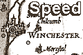
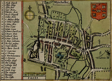
Town plan
Speed's Hampshire 1611Click on it
for large image
Streets and important buildings are keyed by number to a table of contents. The map shows streets, houses and some gardens, town wall and gates, bridges and the braided River Itchen, Winchester Cathedral and other churches, mills, Winchester College, etc.

There is a compass rose indicating the cardinal points by lines, north marked by a fleur de lys.
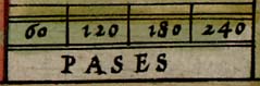
There is a scale line of 240 paces, labelled:-
PASESmarked at 60, 120, 180, 240 paces. Not knowing what a pace is it is difficult to calculate the scale of the street plan is. A pace is traditionally about 5 feet. John Speed declares in his introduction that the town plans with a scale of paces are ones that he surveyed.
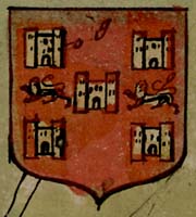
The coat of arms of Winchester is displayed.


